
The International Union of Geological Sciences (IUGS) has included the Norwegian fjords as one of the most important geological landscapes in the world.
The International Union of Geosciences (IUGS) has included the Fjords of Norway in the third edition of The 100 IUGS Geological Heritage Sites . This is an international collection of 100 selected geological sites that are of particular scientific value and importance for the understanding of the Earth and its geological history.
The sites presented in the collection represent some of the most important areas in the world for understanding the history of the Earth. The list includes places where fundamental geological discoveries have taken place, and where geological processes can be observed and studied in a particularly good way. The sites are spread across the globe and reflect the extraordinary geological diversity of our planet.

The Norwegian fjords are known all over the world for their dramatic landscape with steep mountain sides, deep valleys and mighty fjord arms (photo: Fjærland Guiding).
Iconic landscape shaped by glaciers
The Norwegian fjords are highlighted as unique and iconic examples of glacial erosion from the Quaternary period, and as some of the most beautiful landscapes in the world. But beyond their aesthetic value, the fjords have a very special geological significance.
The fjords tell the story of how glaciers, rivers and other geological processes have shaped the landscape over millions of years. The western Norwegian fjords are classic fjord landscapes, with a distinct U-shaped cross-section, steep mountain sides and great depths. They are considered a type area for fjord landscapes in a global context.
The Sognefjord is, at 205 kilometers, the longest fjord in Norway and the second longest in the world, after Scoresby Sound on the east coast of Greenland. With a maximum depth of 1,303 meters, the Sognefjord is also the deepest fjord in Norway.
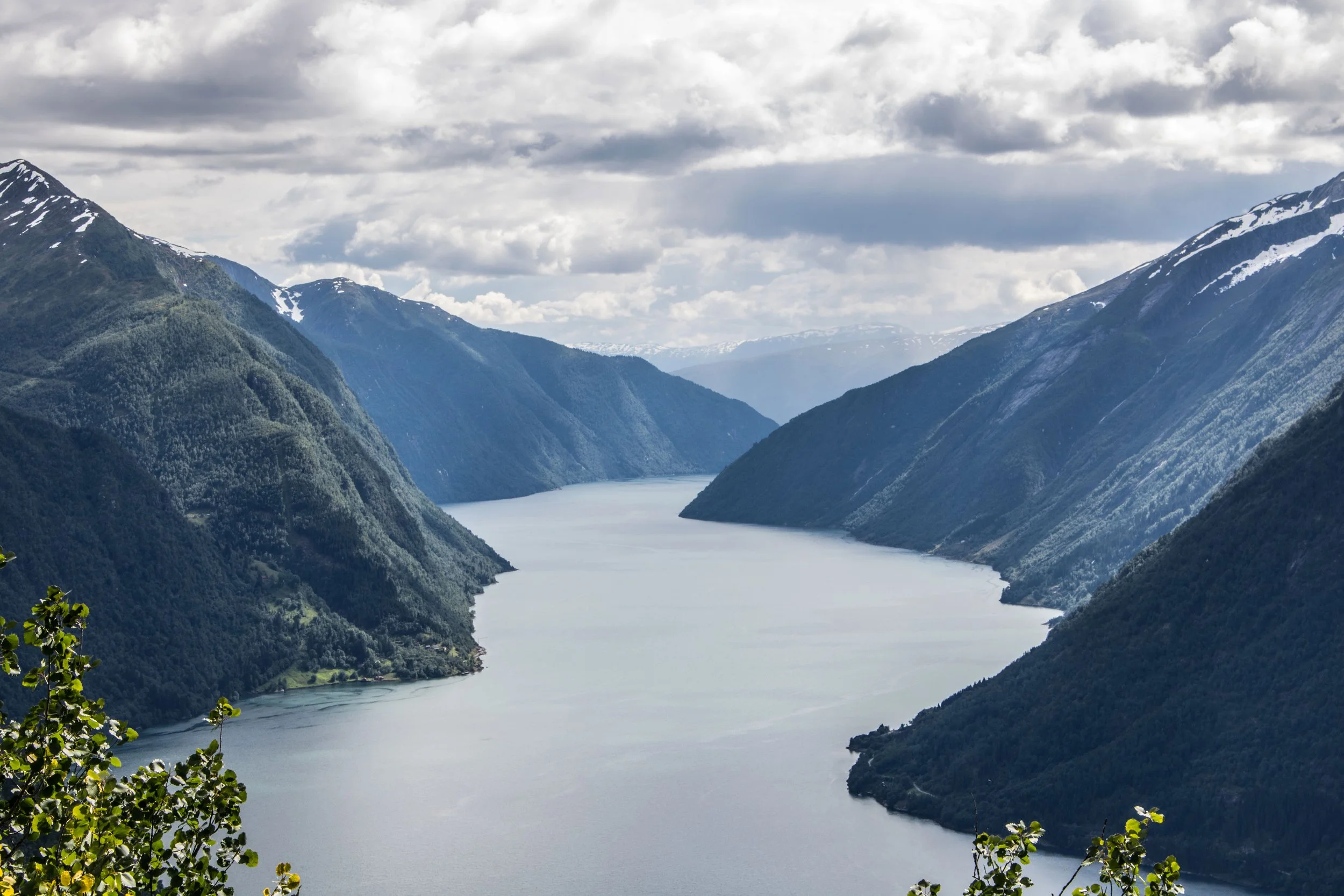
The Sognefjord and the Norwegian fjords are now on the list of the most important geological landscapes in the world (photo: Pål Hage Kielland).
A result of millions of years of geological processes
The development of the fjords is the result of an interaction between several geological processes. The most important factors are erosion from glaciers, tectonic activity and structures in the bedrock, such as fracture zones and faults. River erosion, loose mass transport in the valley sides and submarine mass movements have also played a role in shaping the landscape.
The fact that the fjords are deeper than the solid rock sills at the entrance is clear evidence that glacial erosion has played a decisive role in shaping the fjord landscape. Through several ice ages, glaciers have carved into older stream valleys, widening and deepening them into the mighty fjords we know today.
Geologist associated Norwegian Glacier Museum has contributed
The third edition of the collection builds on the two previous editions from 2022 and 2024. Experts from a number of countries have contributed suggestions and professional assessments to identify geological sites of particularly great international importance.
In the work of documenting the Norwegian fjords, Atle Nesje, among others, has contributed with professional content. Nesje has previously been chairman of the board of Norwegian Glacier Museum and Ulltveit-Moe climate centre , and has conducted research on glaciers, climate and landscape development for many years.
The fact that the Norwegian fjords are now included in this international collection is an important recognition of our geological heritage. The Norwegian fjord landscape is not only a backdrop for a large-scale nature experience, it is also an area of great scientific value and international importance.